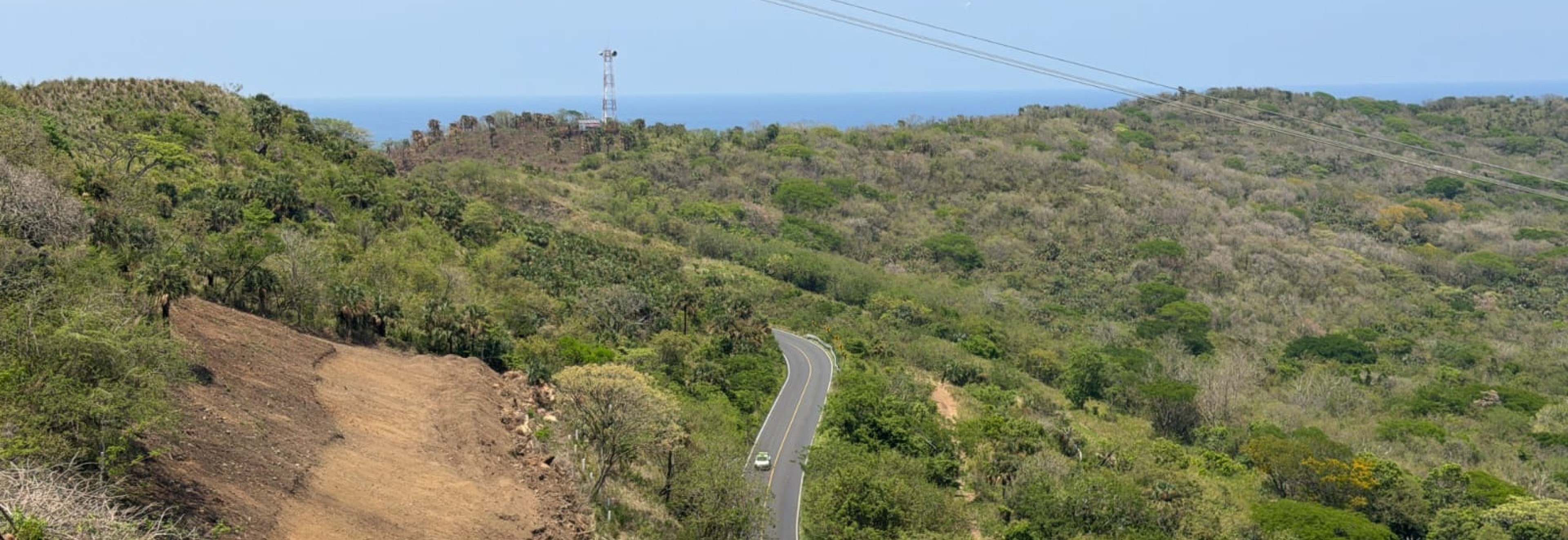
Laguna Verde - La Mancha
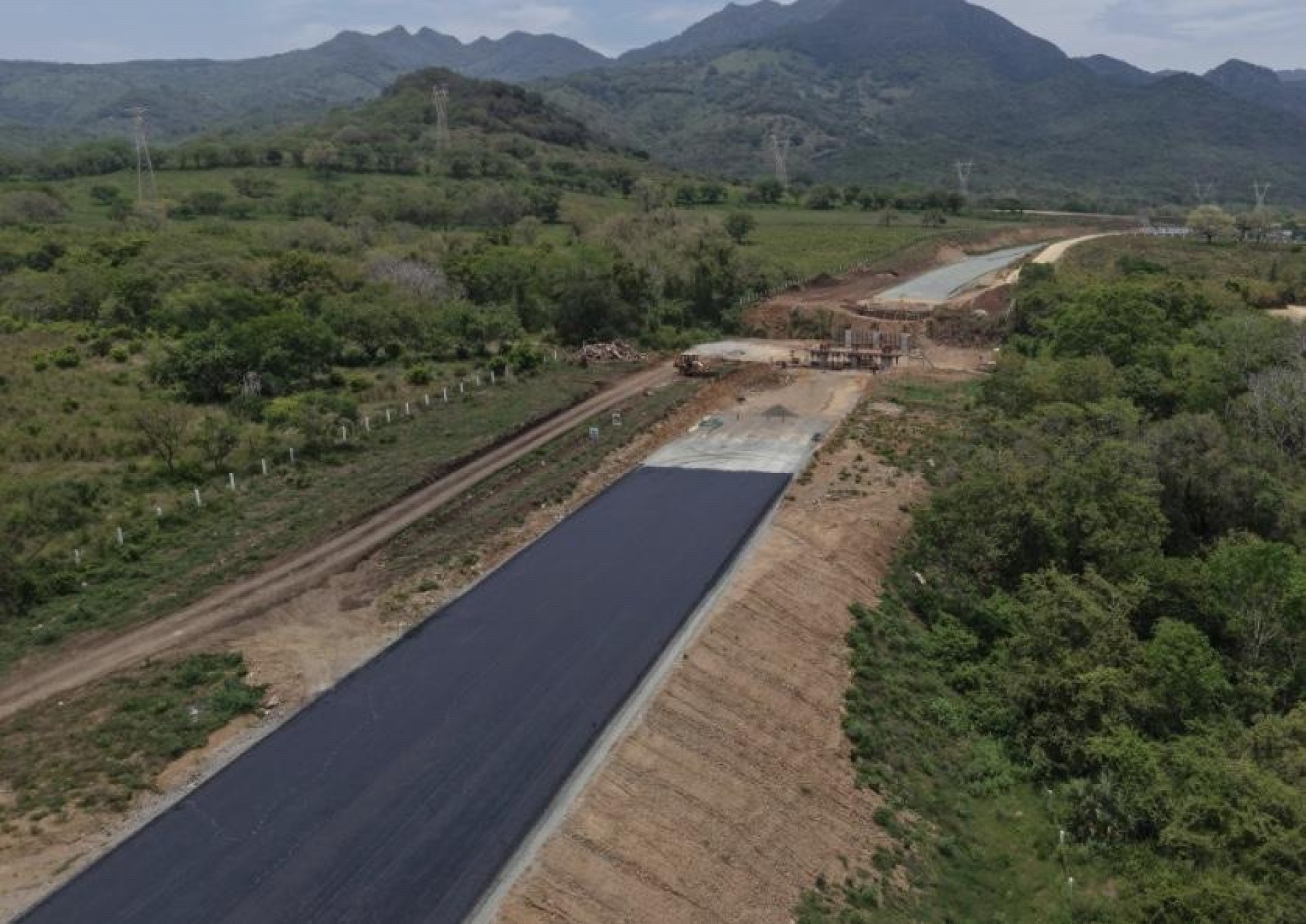
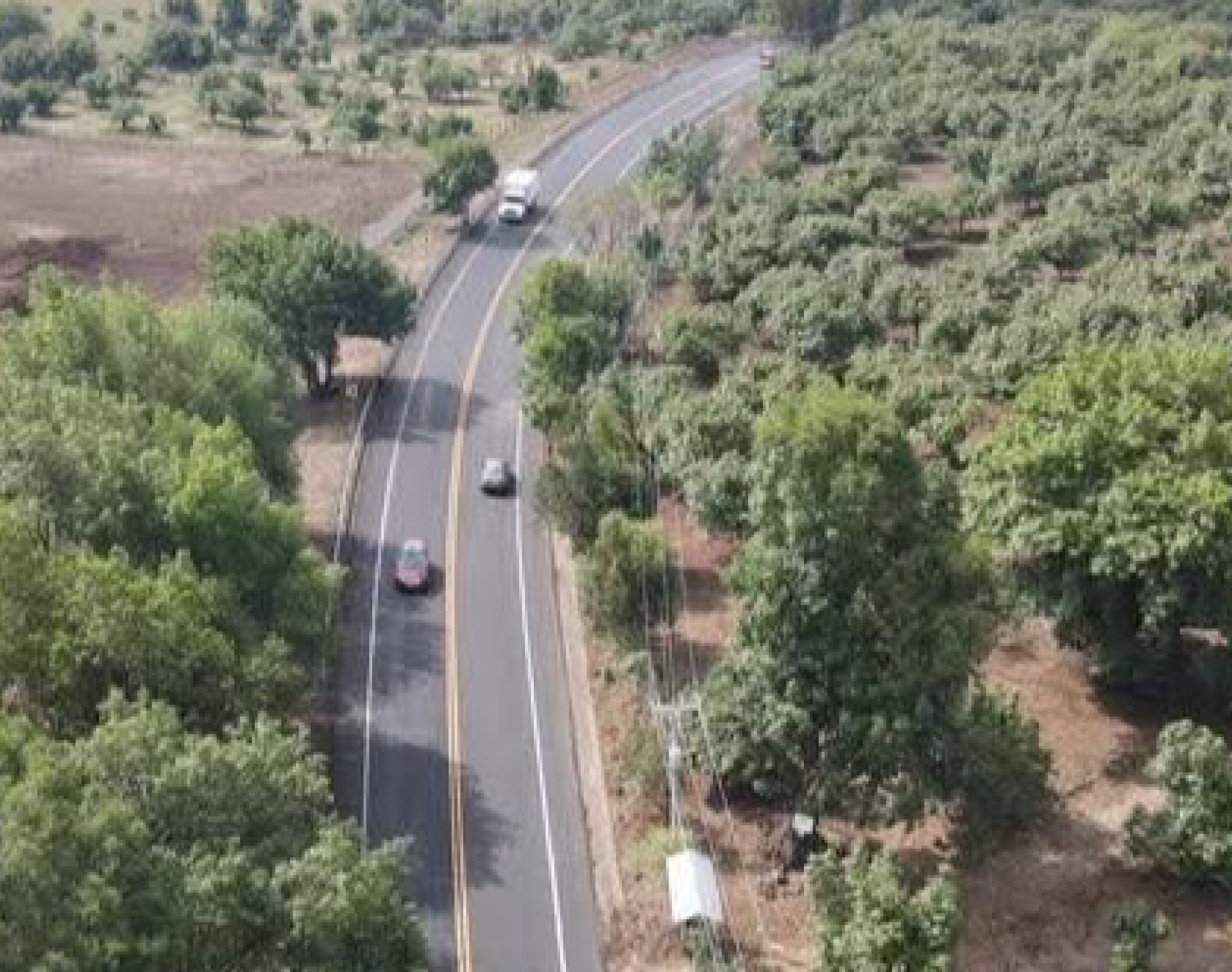
The project covers the study of alternatives and the detailed design of the new Laguna Verde–La Mancha highway, in the state of Veracruz (Mexico), on the Gulf of Mexico coast. It is intended to improve the continuity and traffic conditions of the road corridor, providing an alternative to the route of the existing road.
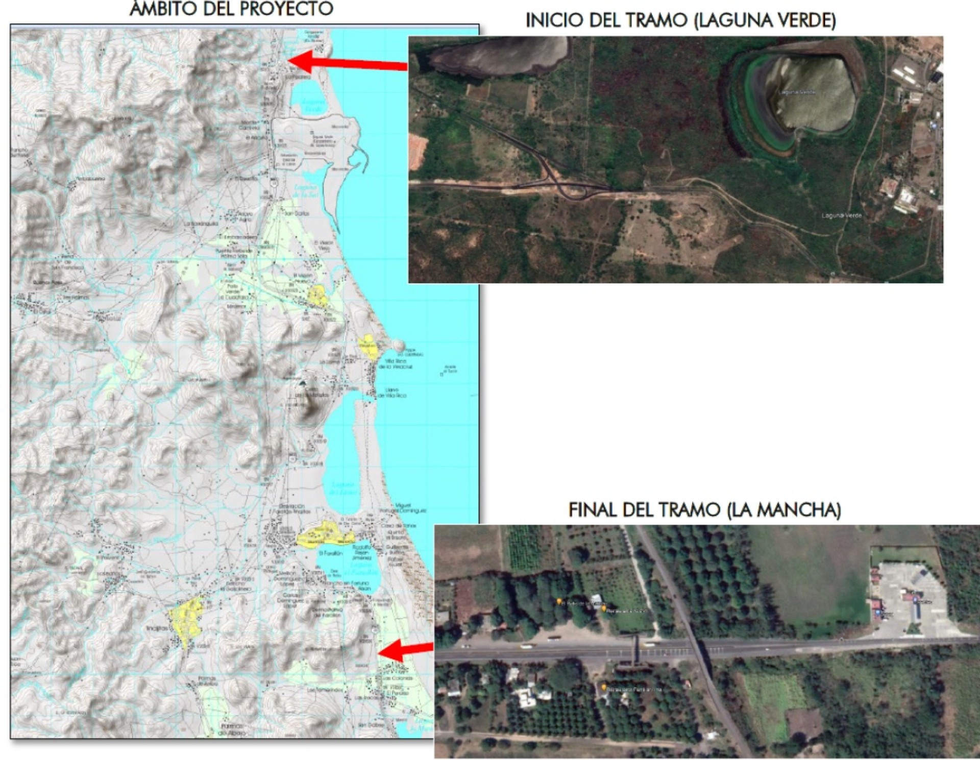
The new infrastructure is approximately 18.7 km long, from the junction of the MEX-180D and MEX-180 roads at Laguna Verde to its connection with the MEX-180 near the Farallón and La Mancha lagoons.
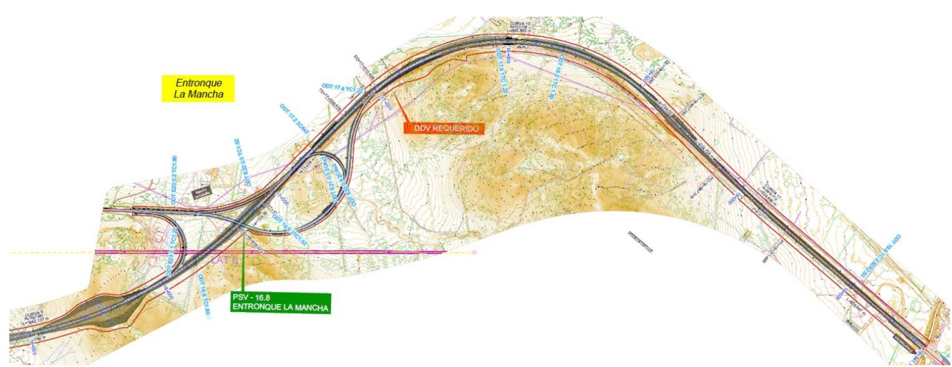
The highway is designed to A2 road standards with a design speed of 110 km/h, including the junctions needed to integrate it into the existing road network.
The route crosses terrain of varying relief, combining mountainous sectors with areas close to the coastal lagoons. Defining it requires studying different route alternatives and optimising the road geometry, earthworks and the layout of structures and drainage works.
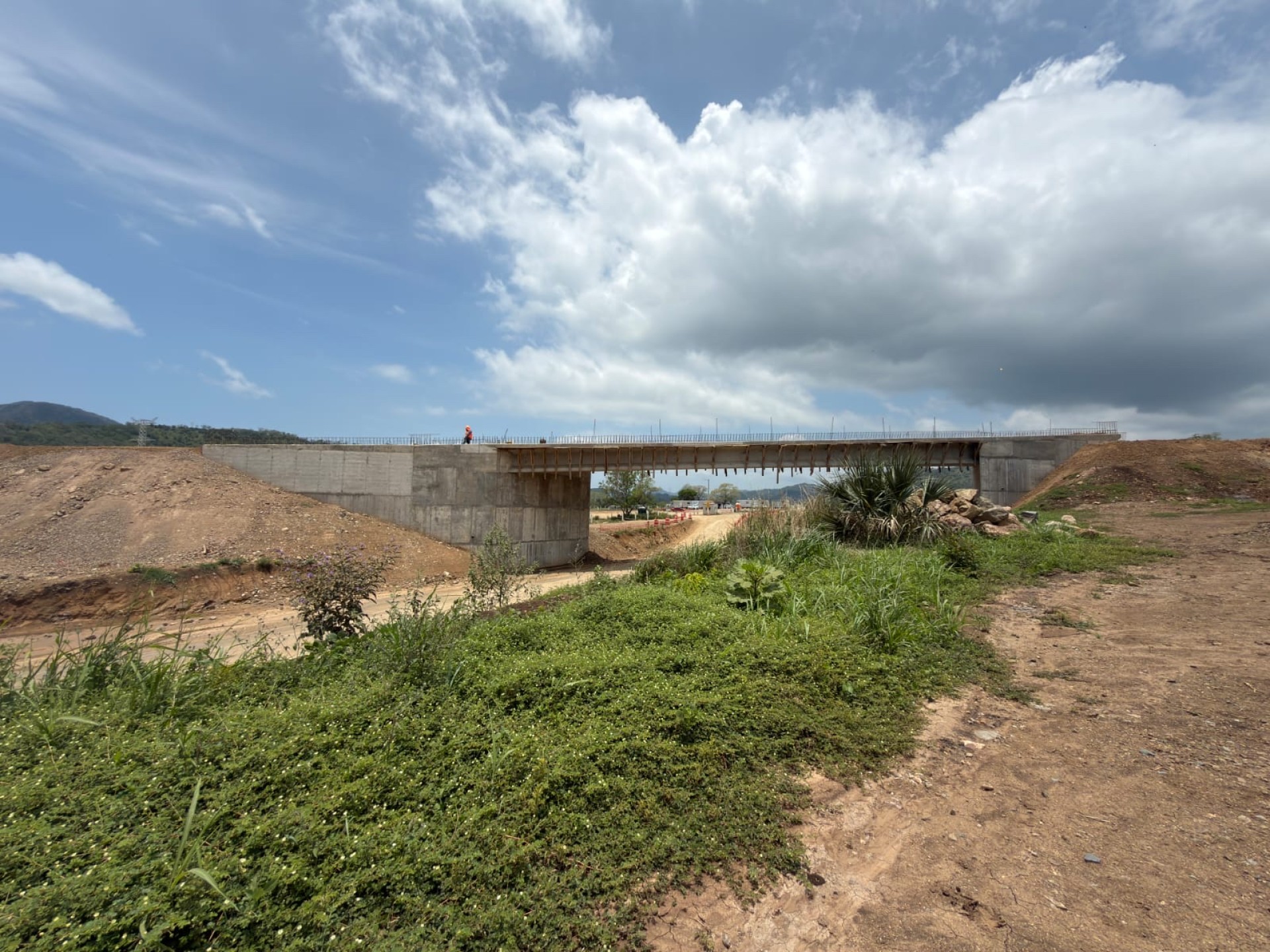
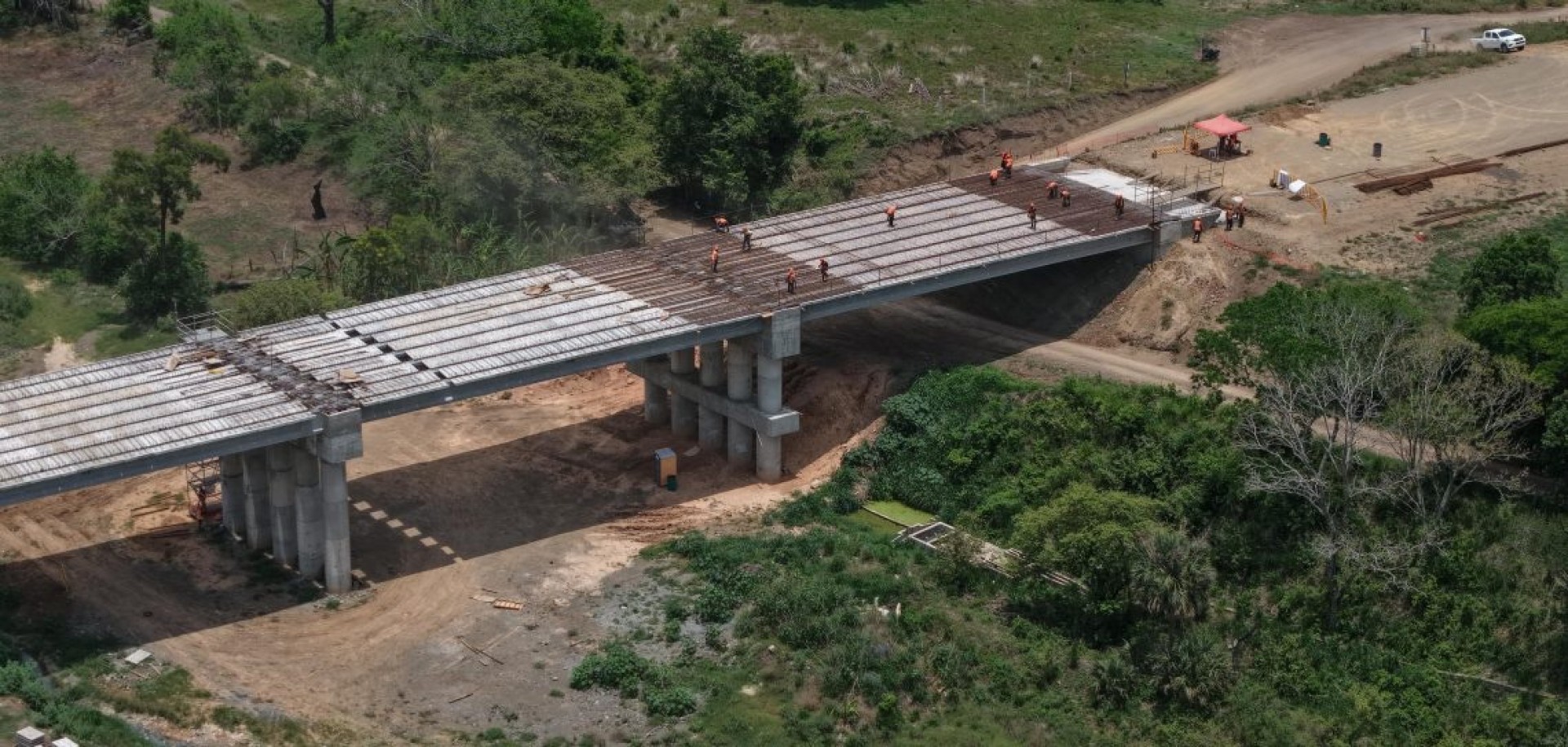
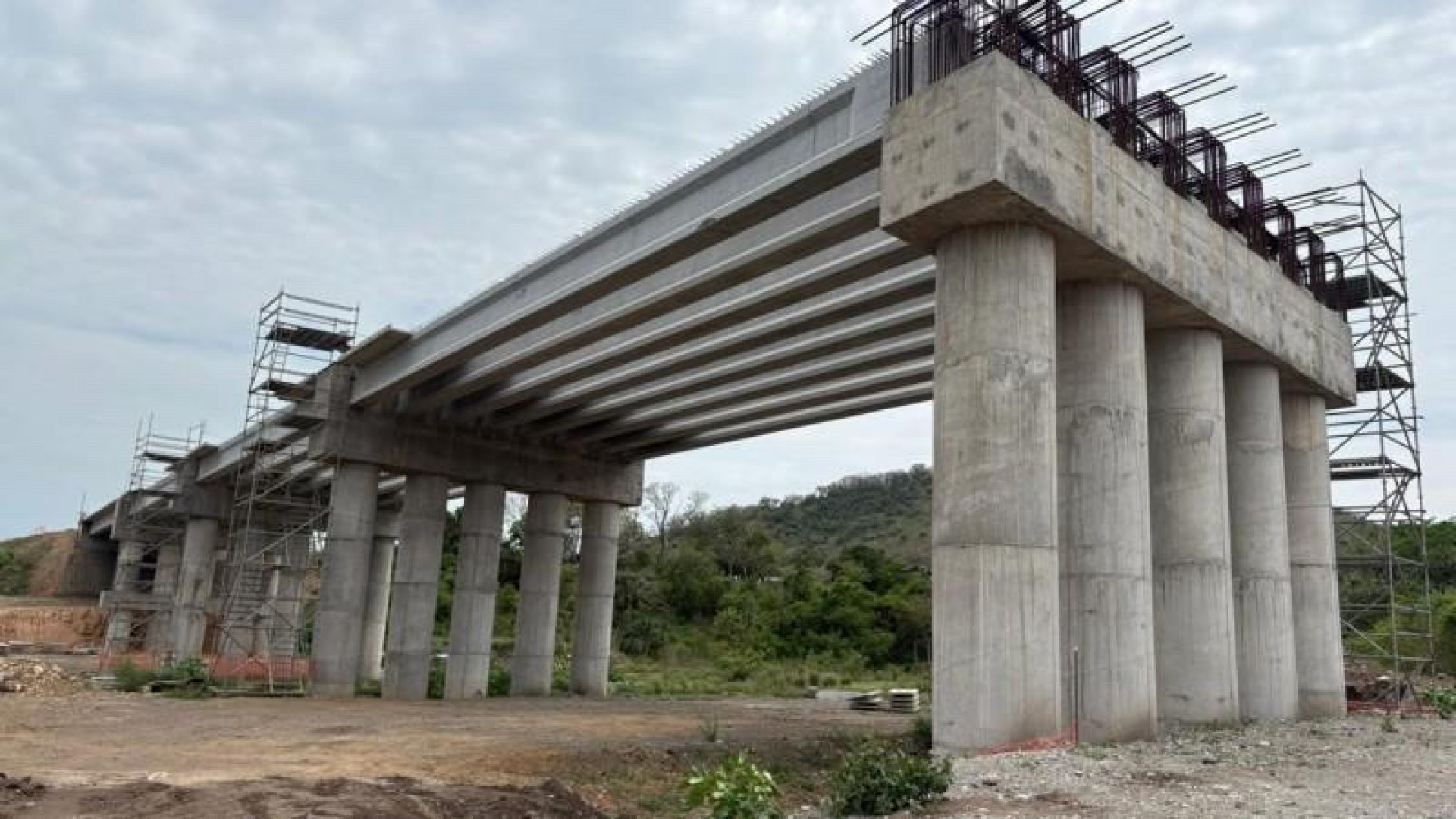
SERS’s work covers the comparative study of alternatives and the development of the detailed design, including the geometric alignment, earthworks, pavements, junctions, crossings, structures and the cross and longitudinal drainage systems.
The project also includes hydrological and hydraulic studies, the sizing of drainage works, the definition of signage and road restraint systems, as well as the quantities and technical documentation needed to build the infrastructure.
The aim is a functional, technically optimised road solution that improves communications along the corridor and adapts the infrastructure to the characteristics of the territory.
01 / 06
Project location
Related projects
RCO Abertis
Detailed design for the Uruapan - Zamora highway in the State of Michoacán (Mexico)
Learn more
Mota-Engil Mexico
Tender design for the Querétaro–San Luis Potosí passenger railway. Section 1 (Mexico)
Learn more
RCO Abertis